Project Name Geoinformatics for designing inclusive cropping systems for sustainable agriculture in Madhya Pradesh
About
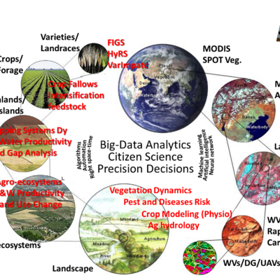
Agroecosystems in Madhya Pradesh host an enormous variety of biophysical environments with extremely contrast socio-economic, demographic, and unique cropping systems. However, there is lack of systematic and timely (near-real time) information on the cropping system dynamics, crop diversity, rotation, intensity, granularity and options for sustainable interventions at multiple scales. Addressing agricultural development challenges faced by smallholders and strategic decision makers without...
Impact
Goals
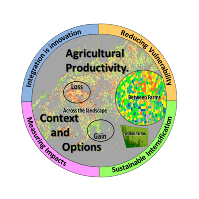
The overall aim is to increase agroecosystem productivity and nutritional security through science based innovations for sustainable intensification and crop diversification of agricultural production systems. This shall occur through an open access digital information platform for inclusive agriculture development with location specific interventions (on the concept of prime mister’s inch of land and a bunch of crop)
Objectives
Quantification of cropping system dynamics at a higher spatial and temporal scale
Develop satellite based inter and intra annual farm potential, crop yield, and yield gaps for bridging the yield and nutritional gaps
Develop crop water productivity for target oriented feasibility plans for crop diversification for sustainable intensification
Develop location specific agroecological crop production zones
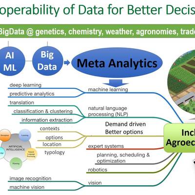
Develop an open access interactive web-enabled agroecosystems platform