GeoAgro-Misr Digital Application Training in Egypt

Amid escalating climate change and dwindling water resources in dryland regions, FAO Egypt, ICARDA, and the Egyptian Ministry of Water and Irrigation launched the Water Productivity Enhancement in Agriculture Project, funded by the government of Japan. Through ICARDA’s innovative water management approaches, the project aims to achieve at least a 20% increase in water usage efficiency by smallholder farmers, as well as 10% to 20% improvement in crop yields, resulting in a 20% plus increase in household income.
A key component of the project is the GeoAgro-MiSR smartphone app developed by ICARDA under CGIAR’s initiative Excellence in Agronomy. This cutting-edge app combines geospatial technology and agricultural management practices to provide a comprehensive platform for data collection and analysis, to better inform farmers on decision-making.
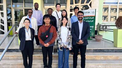
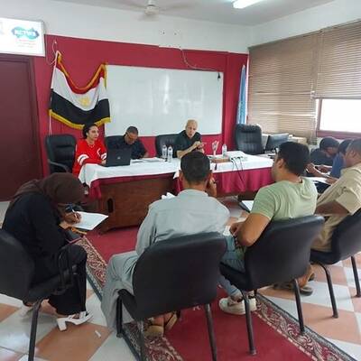
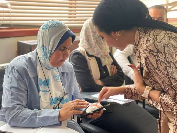
In April, ICARDA’s team of researchers held training workshops for 35 facilitators and field coordinators from UN FAO to help them support 1,500 Egyptian farmers to adopt the GeoAgro-MiSR app and the integrated packages of improved agri-approaches and technologies in Kafr El-Sheikh, Menia, and Qena governorates of Egypt. Participants learned how to use the app for capturing and analyzing data, monitoring crops, assessing soil conditions, and making decisions on irrigation, nutrient management, and pest control. Case studies and best practices were highlighted, and participants helped plan the next scaling stage.
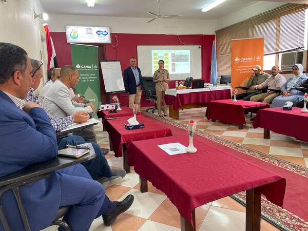
Later, in July, ICARDA and FAO Egypt held a two-day workshop in Kafr El-Sheikh. On the first day of workshop, selected farmers received an overview of GeoAgro-MiSR’s features and AI services, reviewed advisory content for six crops, and tested Arabic language accessibility. The second day focused on FAO facilitators and field coordinators, showcasing new GeoAgro-MiSR features and recent recognition. Feedback from a digital questionnaire was reviewed, and suggestions were made to enhance agricultural productivity in the governorate.
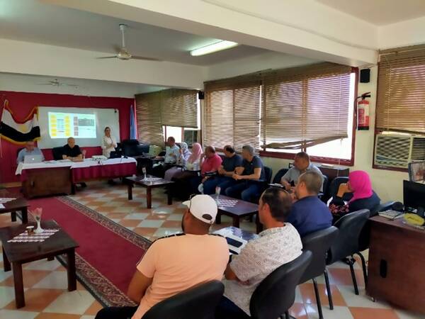
High-level officials from the Ministry of Water Resources and Irrigation (MWRI), including Prof. Atef Nassar, Minister Advisor for Irrigation Improvement, Dr. Youssry Khafagi, Head of the Irrigation Improvement Sector, and Dr. Mohamed Abbas, Director of the Irrigation Advisory Services Directorate, attended the second day of the workshop. They discussed methodologies and program algorithms within the GeoAgro-MiSR application, focusing on accurate irrigation scheduling based on farmers' locations and crop cultivation.
Field coordinators and facilitators are now equipped with the GeoAgro-MiSR tools and skills to assist farmers in Qena, Minya, and Kafr El-Sheikh governorates. ICARDA scientists will continue to conduct monthly site visits, use an online feedback system, and create a distribution map to track user adoption, ensuring the tool's functionality and impact on agricultural practices.
GeoAgro-MiSR is just one of many ICARDA innovative tools developed alongside partners to embrace the power of digitalization in agri-research. Data collection and analysis incorporated into agricultural approaches allow global research to actively work towards the sustainable development of resilient food systems for farming communities in dry regions in the face of accelerating climate change.